

Gobierno de Nuevo León
Bienvenido al portal de información oficial


Vive el Mundial 2026 en Nuevo León
¿Estás listo?
Consulta y encuentra aquí información que te ayudará a vivir la experiencia del Mundial más Norteño.

Dónde comer en Nuevo León
Si vienes al Mundial a Nuevo León, una de las cosas que más te va a sorprender es su comida. Aquí la gastronomía es parte de la identidad, y hay ciertos platillos que sí o sí tienes que probar: el famoso cabrito, el asado de puerco y, claro, la clásica carne asada que es casi una tradición local. Pero no todo es comida típica, también vas a encontrar opciones para todos los gustos.

Dónde dormir en Nuevo León
Durante el Mundial, encuentra el lugar perfecto para descansar en Nuevo León: desde hoteles hasta cabañas o incluso glamping. Hay opciones para todos los estilos, ¡descúbrelas y recarga energía para seguir disfrutando!

Qué hacer en Nuevo León
Esta es la guía para conocer todo lo que Nuevo León ofrece a sus viajeros.
¿Ya sabes cuál es tu estilo de viaje?
Explora desde parques y centros comerciales, hasta eventos y actividades de aventura.
Tienes todo un estado por descubrir.

Primera vez en Nuevo León
Además de vivir el Mundial y toda la pasión futbolera, si es tu primera vez en Nuevo León tienes que recorrer sus lugares más emblemáticos. Aquí te reunimos lo que sí o sí debes conocer.

APP Pasaporte Nuevo León
Estás a un click de distancia de vivir las experiencias increíbles que nuestro Estado tiene para ti, gracias a nuestra aplicación Pasaporte Nuevo León.
Una excelente herramienta para planear tu próxima visita.
Descárgala ahora en:
Google Play y App Store
Estamos poniendo Nuevo a Nuevo León


Últimas noticias
¡Entérate de las últimas noticias del Nuevo Nuevo León!

Publicado el 17/07/2026
Presenta CONARTE a la generación 2025 del Centro de Escritores de Nuevo León


Publicado el 17/07/2026
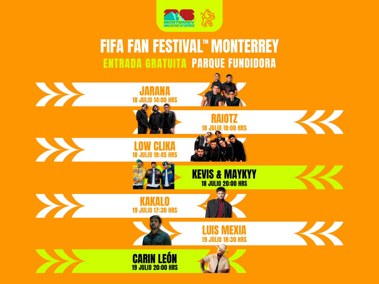
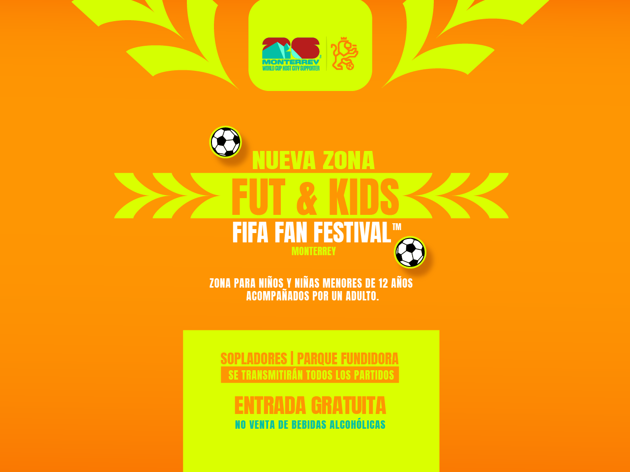
Alista Gobierno del Estado operativo de seguridad para el cierre del Fan Fest y del Mundial
Convocatorias
Conoce las últimas convocatorias


Próximos eventos
Prepárate para los próximos eventos


